
LiDAR Mapping Before Building Demolition Preserves Existing Site Data
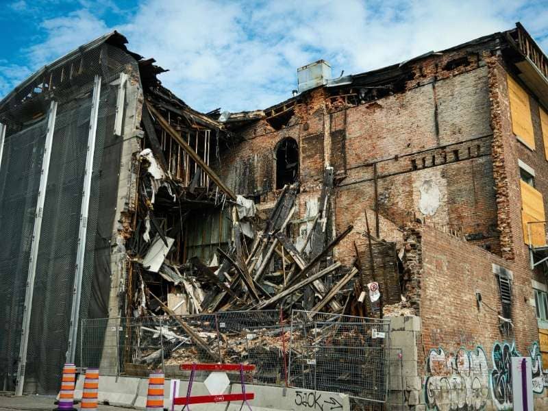
Once a building comes down, it is gone for good. So is a lot of useful data about the site. Grades, footprints, and old features vanish along with the walls. It sees a steady stream of redevelopment tied to storms and coastal growth. That lost data can slow down the next phase of a project. It can also force a costly re-survey later.
LiDAR mapping fixes this problem. It uses laser scans to record the exact shape of a site before demolition starts. This captures grades, building outlines, and site features in detail. Nothing important gets lost once the building is gone.
This article covers why LiDAR mapping before demolition matters. It also covers what it should capture to support your project down the road.
Capture Existing Site Conditions Before Demolition Changes the Property
The first step is simple. Before any wall comes down, LiDAR mapping records the site exactly as it stands. This includes the ground, the building, and everything around it.
Once demolition starts, this information gets hard or even impossible to recover. A LiDAR scan locks it in while it still exists.
This step usually captures:
- Ground elevations across the full site
- The shape and outline of the existing building
- Trees, fences, and other site features near the structure
- Paved areas, walkways, and site access points
For property owners and developers in Pensacola, this step protects data that would get lost the moment demolition begins.
Document Building Footprints and Surrounding Site Features
Once the site is scanned, LiDAR mapping creates a clear record of the building’s footprint and the features around it. This record often stays useful during design, even after the building itself is long gone.
A precise footprint helps confirm where the old structure sat compared to property lines, setbacks, and nearby utilities. This can matter later if new construction needs to work around old foundations or utility lines.
This documentation typically includes:
- The exact footprint and outline of the building being removed
- Distances between the building and property lines or nearby structures
- Existing driveways, parking areas, and site access routes
- Nearby fences, walls, or landscape features that may affect future design
This record gives your design team a clear starting point once redevelopment planning begins.
Preserve Elevation Data for Future Design and Grading
Ground elevation data matters a lot once a new project starts. LiDAR mapping saves the existing grade across the site before demolition. That way, future designers are not left guessing about how the land looked before the building came down.
This step matters even more on sites where the old building may have covered or changed existing grades. Elevation under and around a demolished structure can be hard to piece back together later without a record.
Elevation data should include:
- Ground elevations across the full site, including under and around the building
- Existing slope and drainage patterns before demolition
- Elevation differences between the site and neighboring properties
- Reference points that future grading plans can tie back to
This data gets even more valuable in coastal areas like Pensacola, where drainage and flood elevation questions often shape new site design.
Create a Digital Record for Redevelopment Planning
Once captured, LiDAR data becomes a digital record that supports every stage of redevelopment planning. Engineers and architects can use this data right away, instead of starting from a blank site with no reference to what came before.
This digital record often speeds up the early design process, since much of the existing condition data is already collected and ready to use.
A LiDAR-based record supports:
- Early design work based on accurate existing conditions
- Site planning that accounts for old foundations, utilities, or grading
- Faster permitting, since existing condition data is already documented
- A shared reference point for architects, engineers, and contractors
This step gives your project team a strong starting point, instead of needing a fresh site survey once demolition is already done.
Compare Post-Demolition Conditions With Pre-Demolition Site Data
After demolition wraps up, comparing the site’s new condition against the pre-demolition LiDAR data shows what actually changed. This step also helps catch anything unexpected, such as damage to nearby structures or grade changes that happened during demolition.
This comparison gives property owners and contractors a clear record if any dispute or question comes up about site conditions after demolition.
This comparison typically checks:
- Whether site grading changed in ways not expected during demolition
- Whether nearby structures or property lines were affected
- Whether utility connections or access points changed from pre-demolition conditions
- Confirmation that the site is ready for the next phase of design or construction
Rules for site documentation can vary by property type, municipality, and project scope. It is worth checking what your local building department expects before demolition begins. If your project timeline depends on permitting or construction scheduling, order your LiDAR mapping before demolition starts, not after.