
Planning Large Solar Projects Around Existing Terrain With LiDAR Mapping
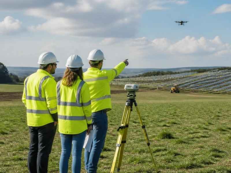
A solar site can look perfect from the road. Flat, open, and ready to build. Then the grading crews arrive and find slopes, low spots, and drainage problems the eye missed. Those surprises cost money and time, and they can force a redesign after work has already started.
LiDAR mapping helps you see the real ground before any of that happens. It measures the terrain in fine detail and shows you what the site is actually shaped like. For large solar projects, that early picture guides smarter layout, grading, and drainage choices. Getting it right at the start protects the budget and the schedule.
Why Existing Terrain Conditions Matter Before Developing Large Solar Projects
Solar arrays need steady ground and predictable slopes. The panels have to sit at set angles, and the racking that holds them depends on even terrain. When the ground rolls, dips, or drains poorly, the whole layout gets harder to build. Small terrain problems across a big site add up fast.
The land around Pensacola brings its own challenges. Many sites here have low, flat areas that hold water after heavy rain. Sandy soil, high groundwater, and gentle grades can hide drainage issues that only show up during construction. A site that looks buildable may need more grading and water management than expected.
Knowing the terrain early changes how you plan. It affects where panels go, how much earth you move, and where water needs to flow. Those decisions shape the cost of the entire project. Studying the ground before design work starts helps you avoid expensive changes later.
How LiDAR Mapping Reveals Ground Conditions Across Large Solar Development Sites
LiDAR stands for light detection and ranging. It uses laser pulses, often flown by aircraft or drone, to measure the exact height of the ground. Millions of points come together to form a detailed map of the terrain. That map shows slopes, dips, and rises that are hard to spot on foot.
For large solar sites, this level of detail matters. Walking a few hundred acres and taking scattered measurements leaves gaps. LiDAR covers the whole site with dense, even data. It captures the small grade changes that affect panel placement across every corner of the property.
One strength of LiDAR is seeing the bare earth beneath vegetation. Solar sites often start as fields or wooded parcels with heavy brush. LiDAR can filter out much of that cover and reveal the true ground surface below. That gives you a clear terrain model before a single tree comes down. The result is a reliable base map you can plan the entire development around.
Using LiDAR Data to Improve Solar Array Layout and Site Grading Decisions
Once you have accurate terrain data, layout gets much easier. You can place rows of panels where the ground already works with them. That means less earthmoving and lower grading costs. On a large site, even small savings per acre add up to real money.
LiDAR data guides several key decisions:
- Panel row placement that follows the natural slope instead of fighting it
- Grading plans that show exactly how much earth needs to move and where
- Access road routes that avoid steep grades and soft ground
- Equipment pad locations set on stable, level areas
Grading is often the biggest variable in a solar budget. Move too much dirt and it costs climbing. Move too little and the panels sit wrong. Accurate LiDAR data helps engineers strike the right balance. They can design cut-and-fill plans that keep earthwork to what the site truly needs. This planning also helps crews stake the site correctly once construction begins.
Identifying Drainage Challenges and Construction Risks With LiDAR-Based Terrain Analysis
Water is one of the biggest threats to a solar site. Panels, wiring, and equipment do not mix well with standing water or erosion. LiDAR terrain analysis shows where water will collect and where it will flow. That warning lets you plan around the problem before it becomes damaged.
The detailed elevation data reveals low spots that pond after rain. It also shows the natural drainage paths across the site. In flat, low-lying areas common near Pensacola, these paths can be subtle but important. Spotting them early helps you design ponds, swales, and grading that move water safely away from the arrays.
LiDAR also flags construction risks beyond water. Steep sections, unstable slopes, and areas that need heavy grading all show up in the data. Knowing about them early helps you plan access, sequencing, and safety. Requirements for stormwater and site drainage can vary by county, project size, and permit type, so confirm what applies to your site early. Catching these risks in planning is far cheaper than fixing them mid-build.
Integrating LiDAR Mapping Into the Early Planning Process for Solar Developments
The best time to use LiDAR is at the very start. Terrain data should shape the design, not just confirm it after the fact. When you bring LiDAR mapping into early planning, every later decision rests on solid ground information. That reduces surprises and keeps the project on track.
Early LiDAR data supports feasibility work, layout studies, and cost estimates. Developers can compare sites, test different array designs, and predict grading needs before committing large sums. Engineers can build accurate models for drainage and earthwork. Lenders and partners gain confidence from a plan backed by real terrain data.
Timing matters for permits too. Many approvals depend on accurate site and drainage information. Having LiDAR data ready early helps the permitting process move without delays. Confirm your survey and mapping needs at the outset, especially when construction timing or approvals hinge on them. Good terrain data at the beginning sets up the whole project to run smoother.
Frequently Asked Questions
What is LiDAR mapping and how does it work for solar sites?
LiDAR mapping uses laser pulses to measure the exact height of the ground across a site. The pulses create millions of points that form a detailed terrain model. For solar sites, that model shows slopes, low spots, and drainage paths that affect layout and grading. It gives developers an accurate picture of the land before design begins.
Why is LiDAR better than a standard survey for large solar projects?
A standard survey collects points at set locations, which can leave gaps on a large site. LiDAR covers the whole property with dense, even data. That detail matters when small grade changes across hundreds of acres affect panel placement. LiDAR also reveals bare ground under brush and trees, which helps early planning.
Can LiDAR mapping show drainage problems before construction?
Yes, LiDAR is very useful for spotting drainage issues early. The elevation data reveals low areas that collect water and the natural paths water follows. That lets engineers design ponds, swales, and grading to move water safely. Finding these problems in planning is much cheaper than fixing them during the build.
How does LiDAR data help lower solar site grading costs?
Grading is often the largest cost variable on a solar project. LiDAR shows the true terrain, so engineers can design panel rows that follow the natural slope. That reduces how much earth needs to move. Accurate cut-and-fill plans keep earthwork limited to what the site actually requires.
When should LiDAR mapping be done in the solar planning process?
LiDAR mapping should happen at the very start of planning. Early terrain data shapes layout, grading, drainage, and cost estimates from the beginning. It also supports permitting, which often depends on accurate site information. Confirm your mapping needs early, especially when timing or approvals depend on them.