
Property Line Survey Questions Before Creating a Shared Site Entrance
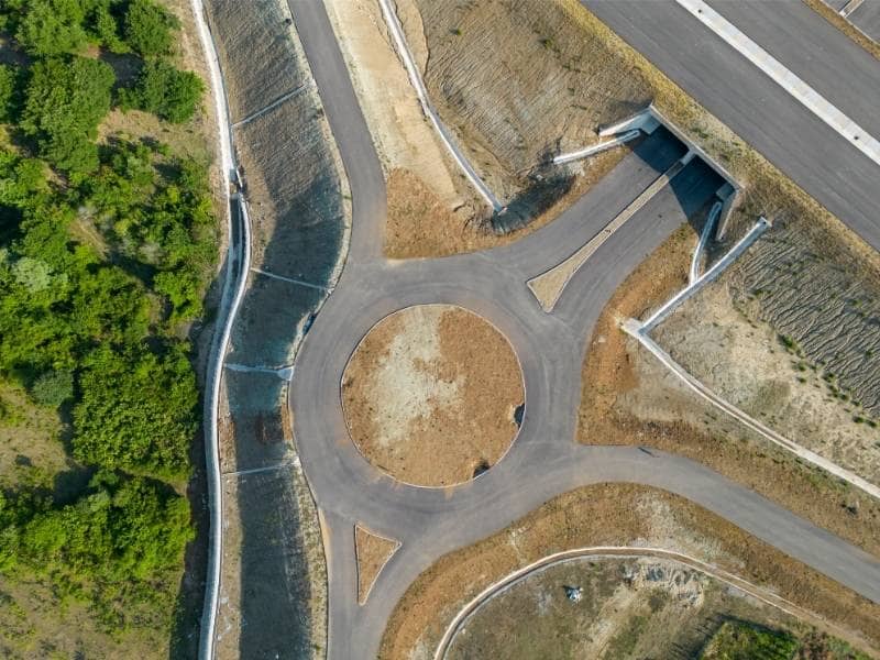
Two nearby commercial properties may want to share one entrance. This can reduce the number of driveways that connect to a busy road.
Before planning a shared entrance, both property owners need to know exactly where their property lines are. They also need to check easements, road frontage, drainage, and other site conditions.
A property line survey can provide this information. It shows where each property begins and ends. It can also show recorded easements and the public right-of-way. Checking these details early can help prevent boundary problems and delays during planning or permitting.
Here are the main things to check before creating a shared entrance between two properties.
Confirming Property Lines at the Shared Entrance
The first step is to confirm the property line between the two parcels.
A property line survey uses property records and field measurements to find the legal boundary. Do not rely only on fences, pavement, signs, or online property maps. These may not show the exact legal property line. A surveyor may review deeds and recorded plats. The surveyor also looks for property markers and other boundary evidence in the field.
The property line is especially important if the new entrance will cross both parcels and create shared access between them. Both owners need to know where the boundary is before the entrance is designed or built. Confirming it early also gives the site design a clear starting point for placing the entrance across both properties. This helps everyone understand how much of the entrance will be on each property.
Reviewing Access Easements and Property Rights
The next step is to check recorded easements and other property rights.
An access easement gives someone the right to use part of another property for access.
One of the properties may already have an easement that affects the planned entrance. If so, the documents should be reviewed to see what rights they provide.
A new shared entrance may also need a new easement or agreement between the property owners.
Important questions include:
- Is there already an access easement?
- Is a new easement needed?
- Are utility easements near the entrance?
- Who can use the shared entrance?
- Who will pay for repairs and maintenance?
A real estate attorney can help review or prepare agreements between the property owners.
Having these rights clearly written down can help prevent problems later.
Checking Road Frontage and Right-of-Way Limits
A property line survey can also show where private property meets the public right-of-way.
The public right-of-way is land used for the road and other public needs. Its boundary may not be easy to see by looking at the property.
This information is important when planning where a shared entrance will connect to the road.
An engineer may need the survey to design the entrance correctly. The property owners may also need approval before adding or changing access to a public road.
The rules can depend on the type of road and the agency that controls it.
Checking these requirements early can help prevent changes to the entrance design later.
Mapping Grades and Drainage Around the Entrance
Water drainage should also be considered when planning a shared entrance.
A site survey with elevation information can show high and low areas around the planned entrance. This helps the design team understand how water moves across both properties.
Poor drainage can cause water to collect on the pavement. It could also send water from one property onto the other.
This can be an even bigger concern on commercial properties with large paved areas.
Elevation information can help the design team plan:
- Entrance grades
- Pavement slopes
- Drainage paths
- Drive aisles
- Connections to existing drainage systems
Planning drainage early can help both properties use the shared entrance without creating new water problems.
Using Survey Information for the Final Site Plan
The property line survey provides important information for the final site plan.
The plan may need to show property boundaries, easements, road frontage, right-of-way limits, and other site conditions.
Before submitting the plan for approval, check:
- That the property line is shown correctly
- That the shared entrance has the needed easement or agreement
- That road frontage and right-of-way limits are shown
- That nearby utility easements have been checked
- That grading and drainage have been considered
- That any needed road access permits have been identified
Local rules can be different depending on the property, road, and type of project.
Starting the property line survey early gives the owners and design team more time to find and solve problems before construction begins.